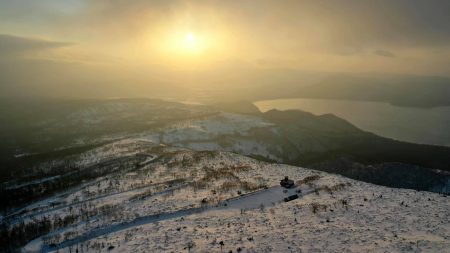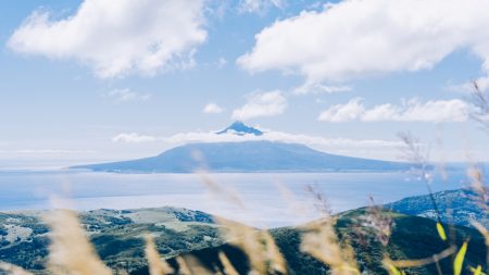


雨竜沼湿原を経て、暑寒岳に至るまでの景観
ラムサール条約登録湿地。標高は850m、東西4km・南北2kmの溶岩台地に広がる山岳型高層湿原。湿原内には大小様々な池塘が有り、周辺では多数の高山植物を観測出来る。麓のキャンプ場を登山口に、湿原を抜け南暑寒岳、暑寒別岳に至る縦走路が存在する。入山可能時期は例年7月〜10月上旬頃まで。
The view across the Uryu marshland to reach Mt Syokan
Ramsar wetland. A mountain-type high-rise marsh spreading over a lava plateau at an altitude of 850 m, 4 km from east to west and 2 km from north to south. There are ponds of various sizes in the marshland and many alpine plants can be observed in the surrounding area. There is a traverse route leading from the campsite at the foot of the mountain to the trailhead, through the marshland to Mt Syokan. The time of year when the mountain can be accessed is usually from July to early October.
Location
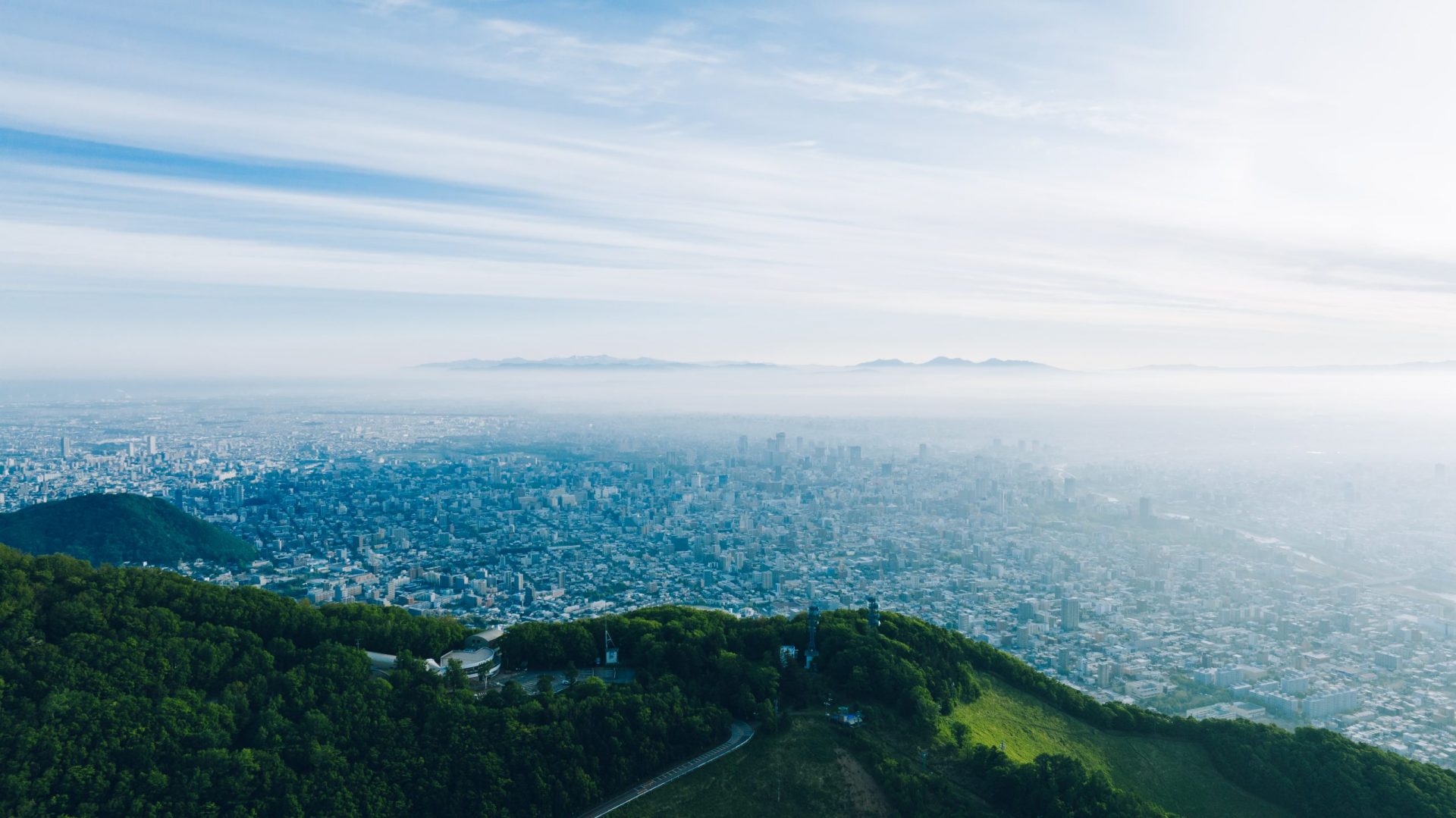
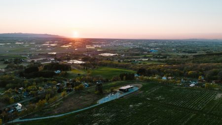
Sorachi Area, Northern Hokkaido
北海道北部 空知地方
Date taken
08/2022
Altitude 845 m, 43° 41′ N, 141° 36′ E