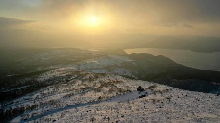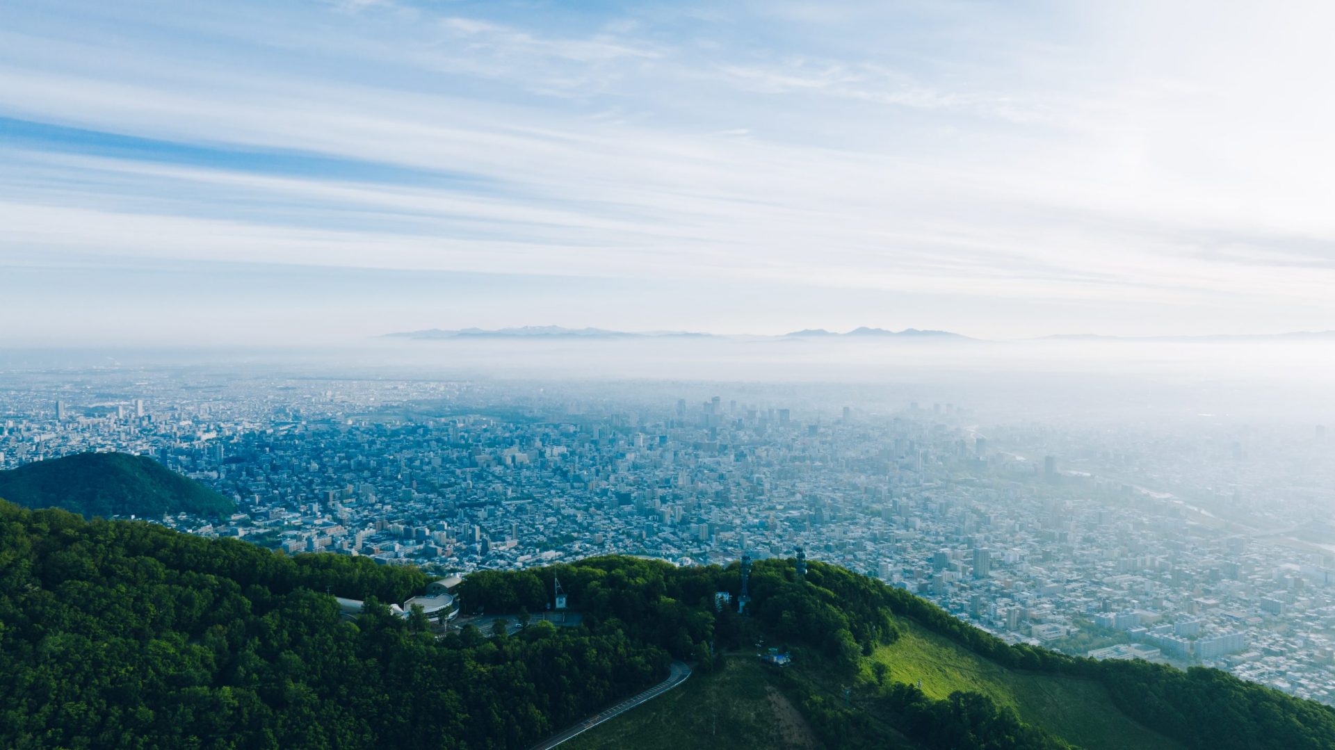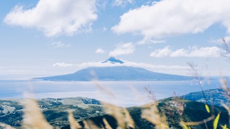

無為の自然と人の叡智を感じる、歌島高原
標高364mに有る高原で、由来となるアイヌ語名はウタ・シュマ・ナイ=砂浜の石が多い川。一部の通信用アンテナを除けばほぼ人の手が入っておらず、樹木も生育していない為に360度の眺望が広がる場所。高原下に広がる漁港の様子や、北海道の中央部と南部を隔てる狩場山地が一望出来る。
Location
Shiribeshi Area, Central Hokkaido
北海道中央部 後志地方
Date taken
08/2021
43° 17′ N, 140° 20′ E.
Feel the wisdom of untrammelled nature and people, Utajima Plateau.
The plateau is located at an altitude of 364 m above sea level, and its Ainu name is Uta Shuma Nai, which means ‘stony river on a sandy beach’. Apart from a few communication antennas, the area is almost untouched by humans, and there are no trees growing on the plateau, so it offers a 360° view. The view includes a fishing port spreading out below the plateau and the Kariba Mountains separating the central and southern parts of Hokkaido.