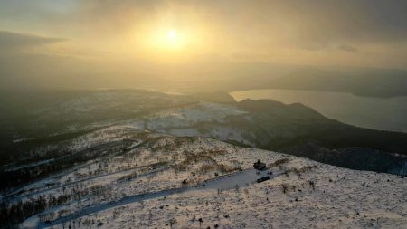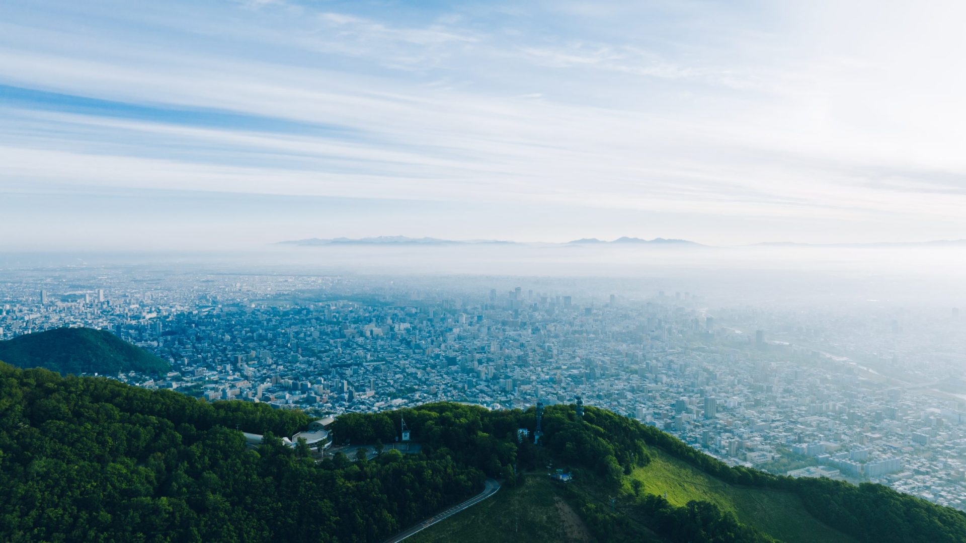

Location
Soya Hills, Soya Area, Northern Hokkaido
北海道北部 宗谷地方 宗谷丘陵
Date taken
02/2019, 08/2019
宗谷丘陵、氷河地形の中に立つ風力発電機群
2万年前の氷河期に形成された丘陵地帯。氷河の凍結・融解を繰り返し形成された波状地形が特徴で、周氷河地形と称される。周辺一帯は畜産用の牧草地と風力発電を目的とした風車群が立ち並ぶ。稚内方面から宗谷岬、猿払側へ抜ける農道が通っているものの、冬季除雪は無く閉鎖される。
Soya Hills, a group of wind turbines standing in glacial terrain.
Hills formed during the glacial period 20,000 years ago. It is characterised by a wavy landform formed by repeated freezing and thawing of glaciers, and is known as a periglacial landform. The surrounding area is lined with pastures for livestock farming and windmills for wind power generation. A farm road runs from Wakkanai to Cape Soya and Sarufutsu, but is closed in winter without snow clearance.